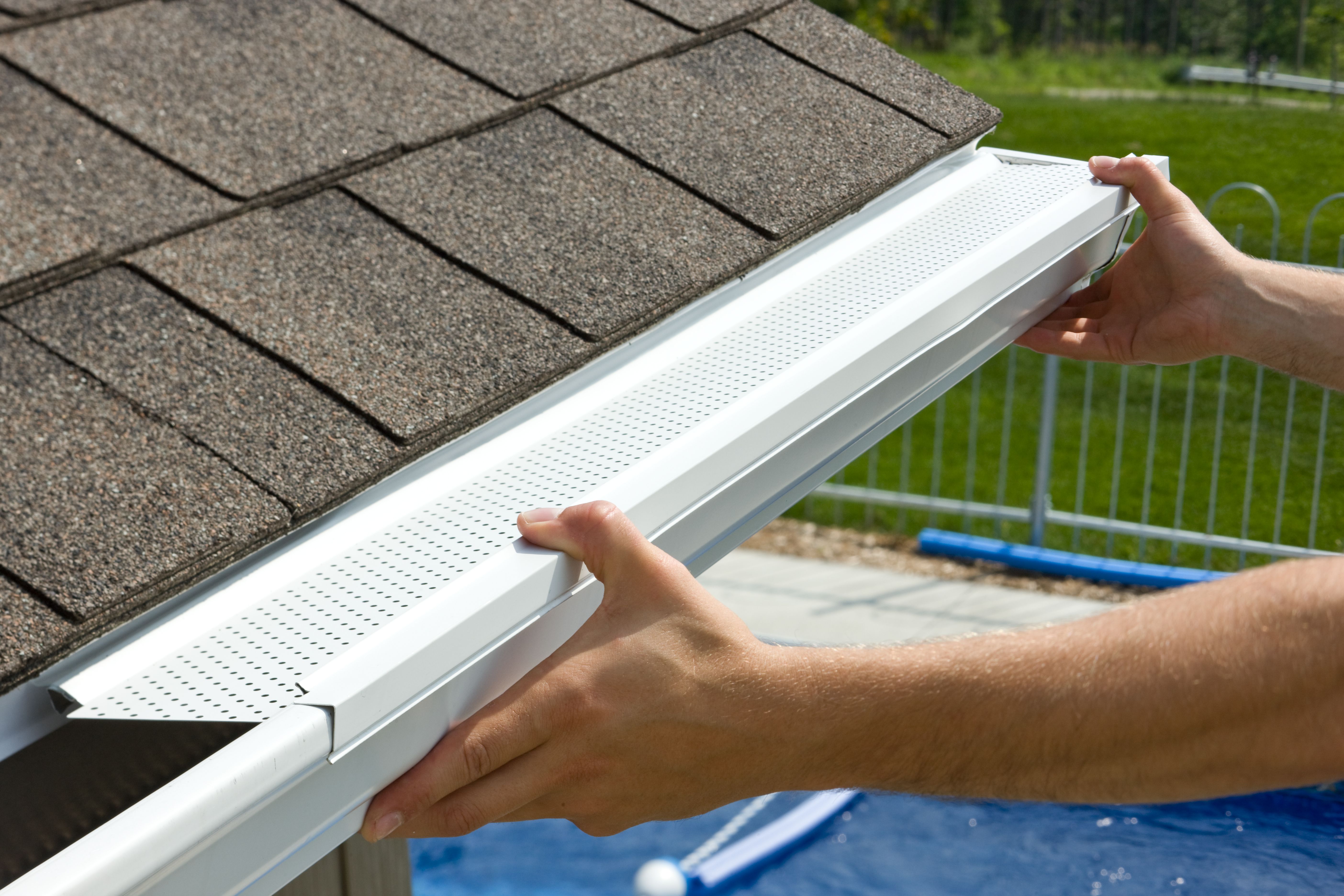
Several tools now allow gutter installers to estimate the dimensions of a project, thus quickly allowing them to give an approximation of the cost of the work to their customers.
The simplest method comes from Google Maps, a platform used regularly, and familiar to many.
Here’s how it works;
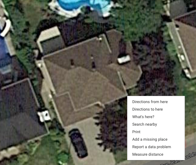
- Adjust your Google Maps settings, making sure your viewing mode is “Satellite” or “Earth”, depending on your web browser, by clicking on the icon at the bottom of your screen.
- Zoom in as close as you can to the building to be examined.
- Point your cursor at the starting point, for example, the west corner of the roof of the residence, and right-click.
- Select “Measure Distance”.
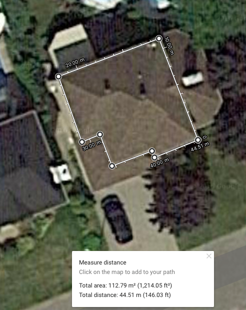
- Click on the adjacent end of the building to complete the distance to be measured.
- You can now “draw” the line to complete the perimeter and calculate the total measure in meters or linear feet.
- It is also possible to estimate the slope and get a better idea of the residence concerned by using the “3D” button on the right side of the screen.
And here it is!
Obviously, this method does not replace a physical visit, which makes it possible to know the specificities of the building, and does not guarantee infallible mesurements.
It is however an interesting tool to add to your arsenal for a first prospecting of the property, allowing to locate where the downpipes and access panels will be placed, to take initial measurements and to determine the number of corners required.